


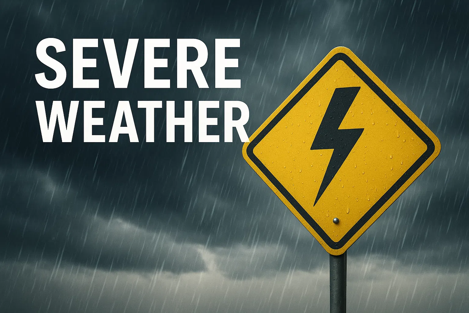
GREEN BAY, WI- The National Weather Service in Green Bay is warning residents across central and eastern Wisconsin to prepare for a complex of rain and thunderstorms expected throughout this afternoon and evening. A Flood Watch has been issued, and forecasters are monitoring the potential for heavy rainfall, flash flooding, and severe thunderstorms.
Storms are expected to begin in central Wisconsin between Noon and 1:00 PM, tracking eastward and exiting the region by around 10:00 PM. Nearly all areas are expected to receive rainfall, with the greatest risk for damaging winds, hail, and even isolated tornadoes centered in central and east-central Wisconsin.
Hazards include:
-
Heavy rain and localized flooding
-
Damaging winds
-
Hail
-
Isolated tornadoes
Forecasters say confidence is high that storms will develop and move through the area, though there is medium confidence on the extent of severe weather or flash flooding.
Updates will be provided this afternoon if major changes occur. Residents are urged to stay alert, monitor forecasts, and avoid flooded areas. For the latest information, visit the National Weather Service Green Bay website or follow local alerts.


Comments